This is the first in a series of posts looking at neglected mountains near to famous archaeological sites. Many of these are relatively low-altitude sites—perfect for winter, when there is snow on the highest summits!
This walk takes you up the summit of Mount Kotilion, above the Temple of Apollo at Bassae.
The temple is one of the most famous tourist sites in the Peloponnese, but the peak behind it is completely neglected in the official information boards, and the path up to summit, which is a fascinating archaeological site in its own right, is rough and barely signposted.
It seems like a real missed opportunity. It’s quite a short hike. Going up to the summit gives you a fantastic understanding of the wider religious landscape that the Temple of Apollo is part of. It also helps you to see the visual interconnectedness of the mountains of Arkadia.
Summit temples
The summit itself has the remains of two temples dating from the 7th and 6th centuries BCE. They are situated in a natural hollow a little below the highest point.
One of them seems to have been in honour of Aphrodite, the other (probably the larger of the two ruined structures) in honour of Artemis Orthasia.
The dedicatory objects found there include lots of bronze mirrors and a terracotta figurine probably depicting the god Pan playing the flute; also a bronze sheet with a manumission decree—in the other words a document recording the granting of freedom to an enslaved person, and mentioning the goddess Artemis.
The temples seem to have been quite poorly constructed: they fell into ruin at quite an early stage and were abandoned probably in the third century BCE.
We also don’t know for sure how closely connected they were with the larger sanctuary lower down on the mountainside.
But it’s possible at least that for a couple of centuries they were linked with the Temple of Apollo as part of an interconnected ritual landscape that would have involved regular movement up and down the hill between the two sites.
Statues and springs
There’s only one surviving account of Mount Kotilion in ancient literature, from Pausanias’ travel account from the second century CE.
The temples had already been in ruins for many centuries by the time he visited:
Beyond the sanctuary of Apollo Epikourios is a place called Kotilon, and in Kotilon is a temple of Aphrodite, the roof of which is now gone, and an image of the goddess.
Pausanias is also fascinated by the mountain’s place in the waterscape of Arkadia—he pays a lot of attention in his work to rivers and streams and springs:
There is a spring of water on Mount Kotilon. One author has written that this spring is the source of the river Lymax, but he has done so without having seen it himself, and without having had a report from anyone else who has seen it. Both of those sources of information were available to me. We saw the river flowing; we also saw that the spring from Mount Kotilon does not travel a long way, but very soon disappears completely into the ground. (Pausanias, Periegesis 8.41.10)
He has seen enough to debunk the standard story about the source of the river Lymax — although he admits that he hasn’t had time to hunt through the whole of Arkadia for the real source!
Pausanias: seeing for yourself
Pausanias prides himself on having investigated the evidence with his own eyes: that was a common boast for ancient historians. He makes it very clear that he went up the summit himself in person.
It’s a great example of the way in which Pausanias’ text gives us tantalising glimpses of a culture of mountain tourism in the ancient world (or was this a kind of pilgrimage?–the dividing line between the two was much less clear-cut in antiquity than it is for us).
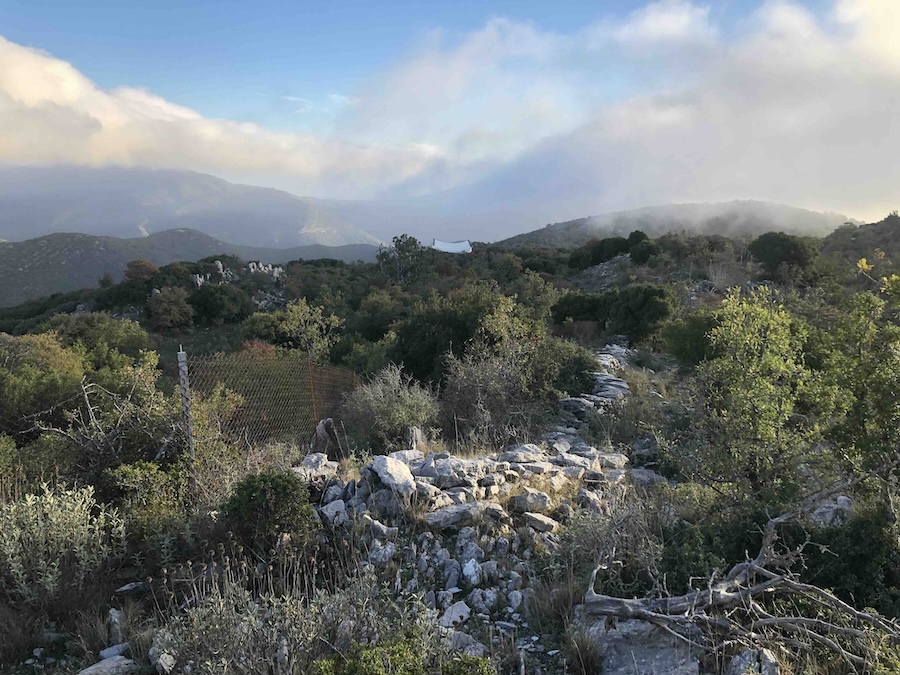
I didn’t have time to search for Pausanias’ disappearing stream myself. I think it’s anyway not on the summit — other reports put it lower down the mountainside, to the south-west of the Temple of Apollo — and I didn’t want to hang around. The mist was coming in (this was late October), and I wanted to get on the road to Olympia before dark. I was also beginning to hear goat bells getting closer and closer, presumably with dogs not far behind, so I turned round and went down as quickly as I could.

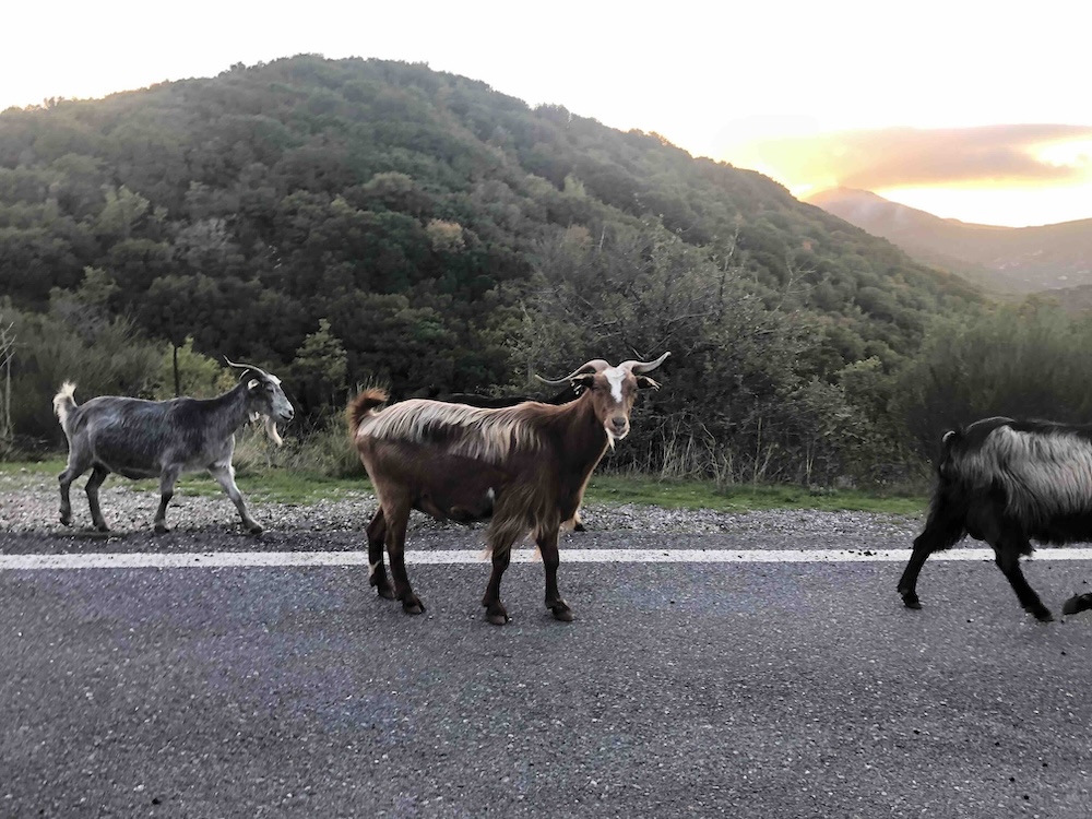
I got back to my car soon enough, but then I took a series of wrong turns. I had to stop repeatedly for goats on the road.

My mobile phone signal cut out I and got completely lost in the dark and spent a long time driving around the narrow roads of Arkadia at random, feeling a mild sense of panic…
Pausanias’ display of knowledge looks effortless. His account of Mount Kotilion occupies just a few lines–it’s a tiny part of his huge work.
But by the end of all that I was beginning to appreciate just how many difficulties he must have overcome to get hold of all his information, in a world were travel and navigation were so much slower and more challenging than they are today…
The route
The start of the route isn’t obvious: you need to go round to the back of the protective tent covering the Temple of Apollo.
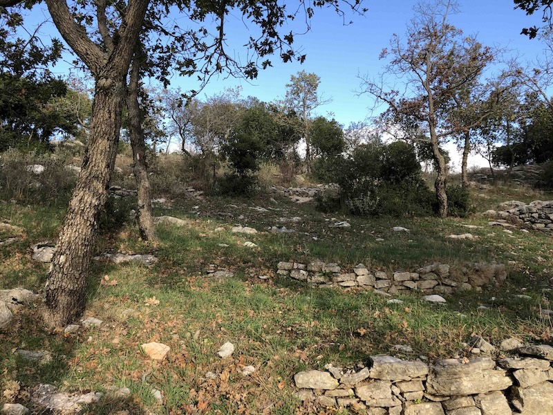
From there you will pick up a trail of red and white paint markings that lead you up along the overgrown and rocky ridgeline.

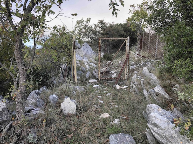
Before long you come to a gate. This was open when I was there in October, but I get the impression it may be locked at other times of year (if anyone has information on that I would love to know!) (The alternative, if you want to avoid the gate, is to ascend by the track that starts on the road 500 metres north of the temple of Apollo car park).
A little further on you turn sharply to the left to follow a path leading south-west. You cross over a paved area with some water troughs.

Then you climb up again through the undergrowth to the archaeological site just below the summit.
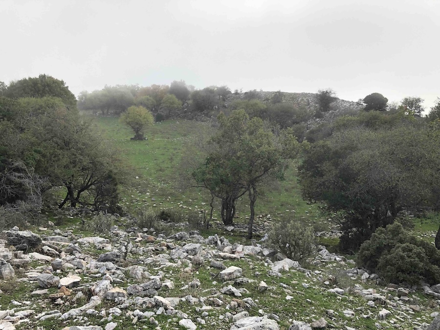
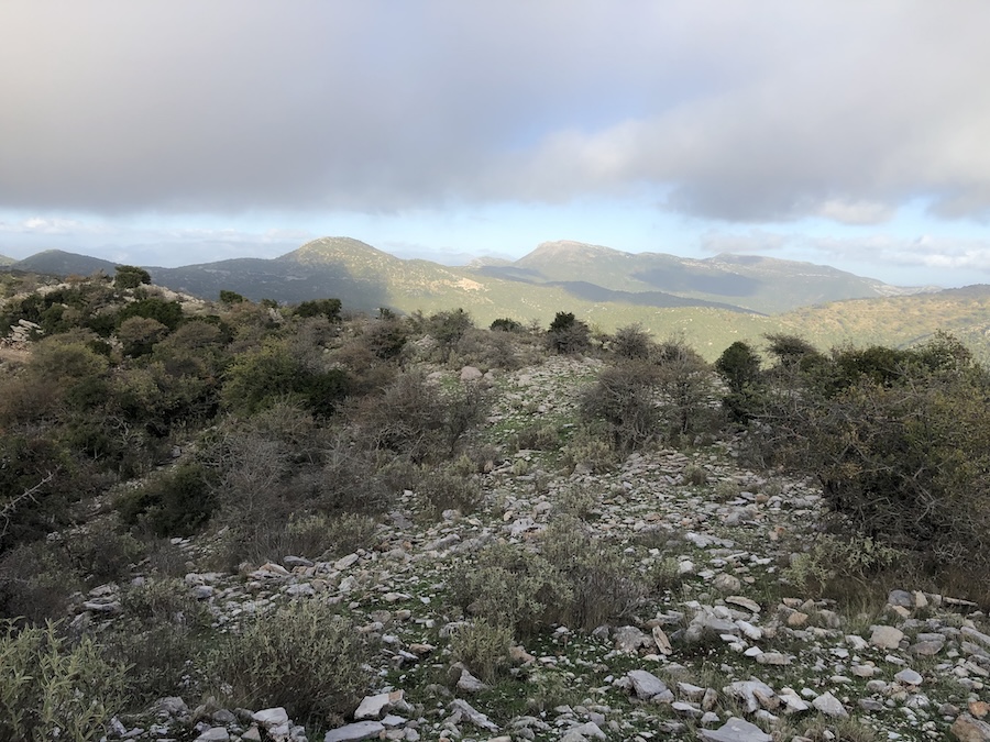
I got some glimpses of Mount Lykaion and Mount Tetrazi before the mist came in.
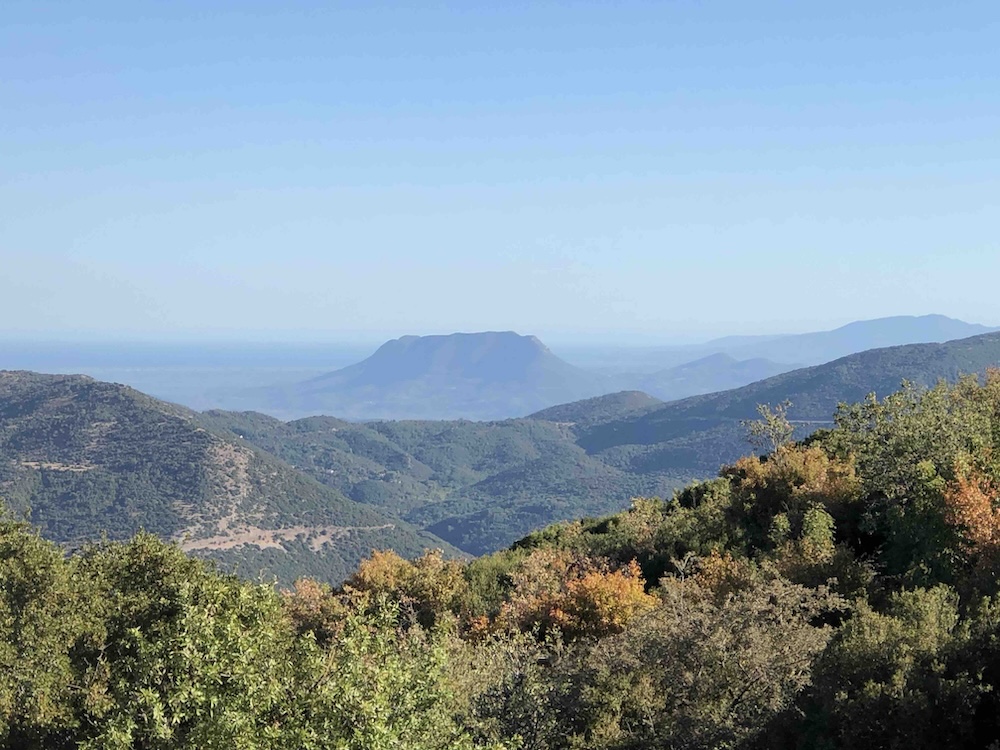
In good visibility you also get stunning views across to Mount Ithome above Messene, which I will talk about in another post (the photo below was taken in September, at lower altitude, down near to the Temple of Apollo).
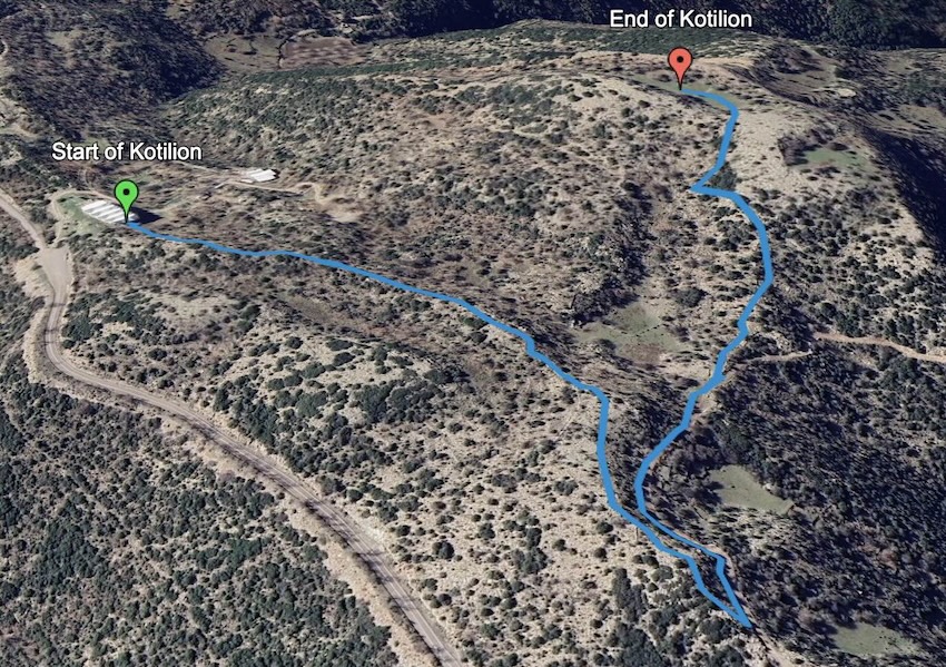
The round trip is about 3 km, with 150 metres of ascent.
The start point for the route is here. The downloadable GPX file is below.