This route takes you up to the hill that was known as Alesion in antiquity, above the village of Pikernis in eastern Arkadia, and near to the site of the ancient city of Mantineia.
Worshipping Antinous in Mantineia
Like Mount Boreion (discussed in last week’s post here) Alesion is mentioned only once in surviving ancient literature, by Pausanias:
There are roads from Mantineia into the rest of Arkadia … On the left of the road as you go to Tegea, by the walls of the Mantineans, is a place used for horse racing. Not far from there is a stadium, where they hold the games in honour of Antinous. Beyond the stadium is Mount Alesion, which they say is named from the wandering [ἄλην (alen) in ancient Greek] of Rhea, and on the mountain is a grove of Demeter. (Pausanias, Periegesis 8.10.1)
Antinous was the boyfriend of the emperor Hadrian. He died at the age of 20 in 130 CE, and was deified and worshipped right around the Roman Empire.
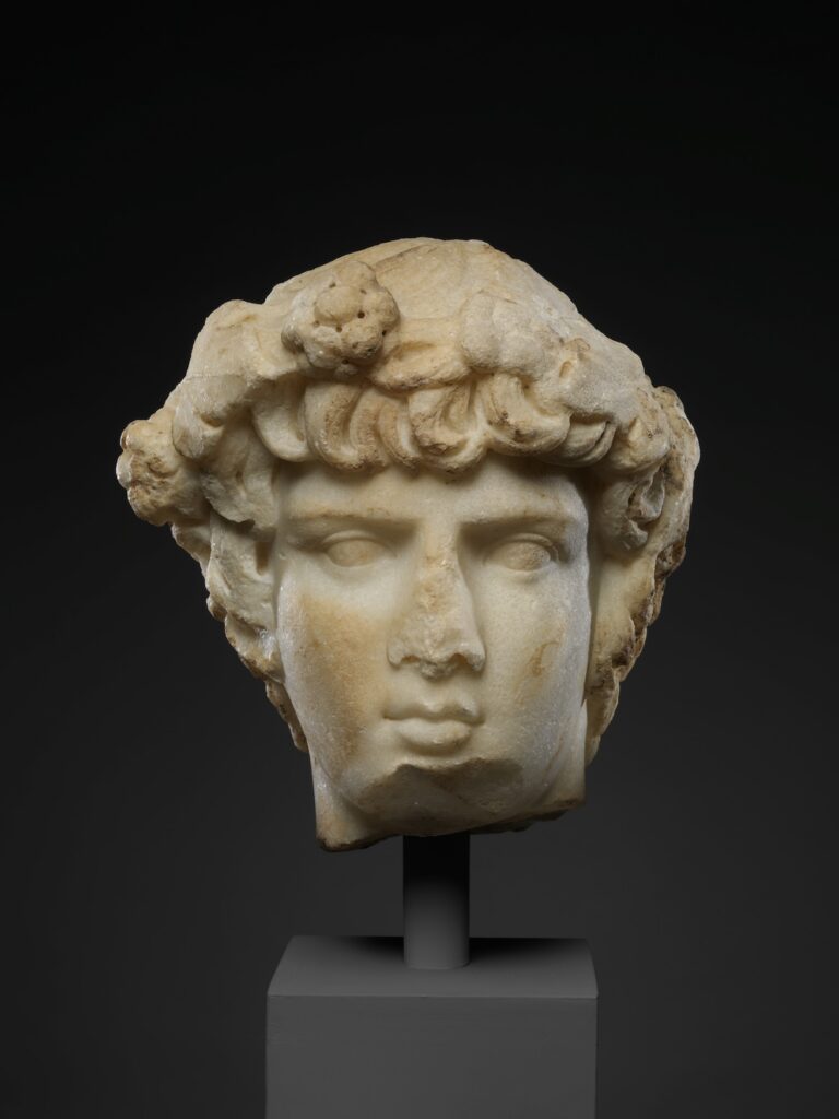
Marble portrait head of Antinous, c. 130-138 CE, Metropolitan Museum
Mantineia was one of the cities where his worship was most prominent, partly because Hadrian himself invested in it heavily (as he did also in Athens and a number of other centres).
But what did the city of Mantineia have to do with Antinous, who was born and brought up far away in Western Asia Minor? At first sight it’s quite odd to see him here, in a place he had no particular connection with in his life.
One answer is that it’s part of Hadrian’s massive investment in the architecture and festival culture of mainland Greece.
But there is also a much more specific issue, which is that Antinous was from Bithynia (from the city of Claudiopolis, or Bolu in northern Turkey). As Pausanias explains (8.9.7) the Bithynians were thought to have been descended from the people of Mantineia.
We don’t know where the hippodrome was, but it’s easy enough to imagine.
From the summit of Alesion (1103 metres above sea level) you can see the higher mountains of Arkadia on all sides: Artemisio and Ktenias to the east, Mainalo to the west.
But you also get an extraordinary view of the flatness of the plains between them — almost as spectacular as the mountains that rise up from them — so level it looks as though you could play marbles on them.
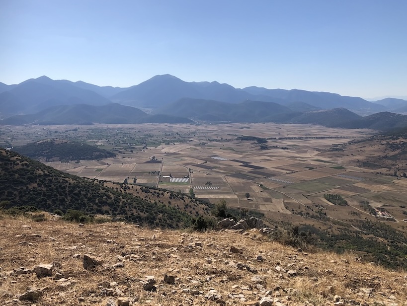
View west from Alesion, with the Ostrakina summit of Mainalo in the centre of the picture.
It’s not difficult to see why this would have been a good place for a race course.
The wanderings of Rhea
The other story Pausanias opens up for us in his account of Mount Alesion is the story of Rhea, the mother of Zeus.
Rhea is a less conspicuous figure than the other deities of Arkadia — Zeus himself, Pan, Artemis — but in fact she is a very significant mountain divinity in Greek mythology, associated with a wide range of sites.
It’s not completely clear what ‘wandering’ Pausanias refers to, but this is presumably happening when she is pregnant with Zeus, looking for a safe place to give birth: her husband Kronos had a bad habit of swallowing their other children (the story is in Apollodorus, Library 1.1 among other sources)..

Rhea tricks Kronos by handing him a swaddled stone, 460-450 BCE, Metropolitan Museum
The most common version was that she found her way to Mount Ida on Crete, but there was an alternative which put the birthplace of Zeus on Mount Lykaion in Arkadia.
Several ancient authors (e.g., Callimachus in the Hymn to Zeus, or Strabo, Geography 8.3.22) tells us that the river Neda in Arkadia was created by Rhea so that she could wash after giving birth.

View west from Mount Alesion, looking towards Mount Ktenias, and with the Megale Tourla summit of Parnonas peeping over the other hills on the top right of the picture.
For such a modest-sized hill, Alesion is an amazing vantage point, standing up above the flat plain. You can imagine Rhea up there looking west and east, scouting around for a safe place hidden away in the higher mountains on either side of her.
The route
From the road approaching the village centre from the south you take a right fork and follow a path gently uphill for 100 metres or so.
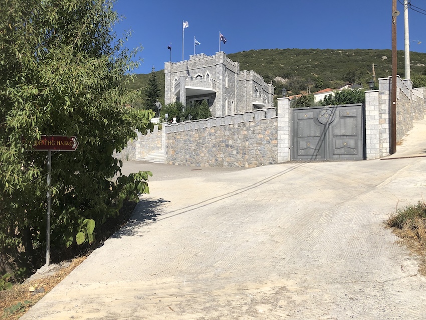
At that point you turn sharply right, directly southwards (rather than taking the road that leads straight on between some houses to the east).
Once you’re on that track it’s hard to go wrong–you just follow the wide path all the way up to the summit, doubling back on yourself to ascend northwards for the final stretch.



The round trip is about 5 km, with 280 metres of ascent.
The start point for the route is here. The downloadable GPX file is below.