This post is a pair to last week’s write-up on Oligyrtos: it introduces another mountain that has just a fleeting appearance in ancient texts, and another snapshot from the military history of the Hellenistic period.
Of all the mountains of Greece, Panachaiko, which stands above the city of Patras in the northwestern Peloponnese, is one of the landscapes most strongly marked by the 21st century. It is covered by one of the biggest wind farms in Greece, with about 60 huge turbines, putting out nearly 50 megawatts of power between them. There are wide access roads winding their way across the summit plateau, with its many ridges.
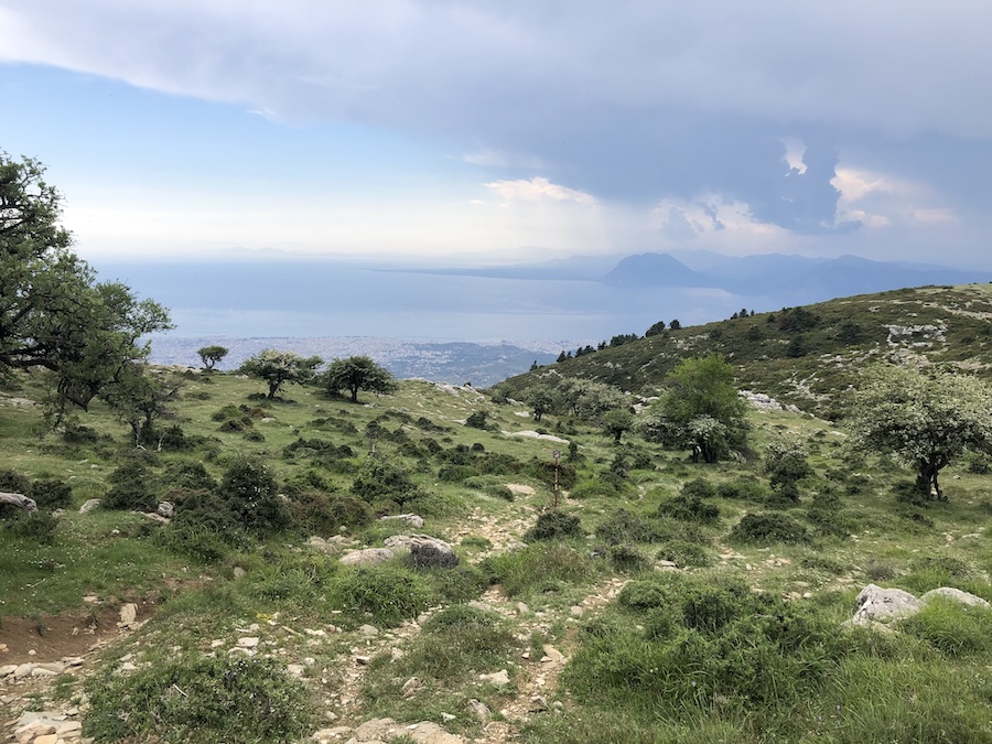
Even so, you can find some beautiful trails, and the views from the west side of the mountain are spectacular, especially across the gulf of Corinth towards the dramatic, steep-sided peaks of Varasova (the ancient Mount Chalkis) and Klokova (the ancient Mount Taphiassos).
It’s not a mountain with a big ancient heritage. I had wondered whether that was a factor in the choice of location for the wind farm, but Kithairon is a counter-example: the wind farm there is almost as big, despite its fame as a place of history and mythology.
Panachaiko in Polybius
Amazingly Panachaiko is mentioned only once in the whole of surviving ancient Greek and Latin literature. The passage is from Book 5 of the Histories of Polybius, not long after the descriptions of Mount Oligyrtos discussed here.
The context, as for the Oligyrtos passage, is the Social War of 220-217 BCE. There is an alliance between Philip V of Macedon and the Achaean League in the northern Peloponnese. They are at war with the Aetolians, from the cities north of the gulf of Corinth, and with the cities of Elis and Sparta. This map gives the basics:
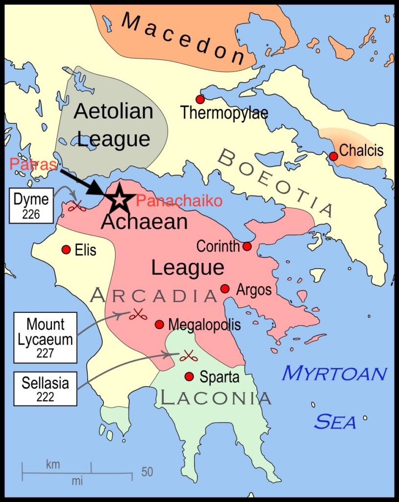
In that context the city of Patras, with its control over the gulf of Corinth, was a crucial strategic point.
Here is the passage (from Polybius, Histories 5.30):
Winter had arrived, and King Philip had left for Macedonia; at the same time the Achaean general Eperatos the was despised by the citizen soldiers and treated with complete contempt by the mercenaries. The result was that nobody obeyed orders and no preparations were made for protecting the region. Seeing this, Pyrrhias, the general sent by the Aetolians to help the people of Elis — taking about 1300 Aetolian troops, and also the mercenaries from Elis, along with 1000 foot citizen foot soldiers and 200 cavalry, amounting to about 3000 men overall — laid waste not only to the territory of Dyme and Pharai but also the territory of Patras. Finally he set up camp on the mountain that is called Panachaikon that lies above the city of Patras and pillaged all the country in the direction of Rhion and Aigion.
This is a difficult moment for the Achaeans. Pyrrhias and his Aetolian troops take full advantage.
Surveillance or homesickness?
When you’re up on the mountain it’s not difficult to see how well it would work as a base for dominating the coastline in all directions. You can see so much of what is going on out on the water and down on the plain, and compared with some mountains in the Peloponnese you can move between the coast and the high parts of the mountain quite quickly and smoothly.
The Aetolians must have felt at home up here, with those views across to their homeland on the other side of the water.
Panachaiko can feel like a tourist backwater today, by comparison with other more visited mountains. To some extent that seems to have been true in antiquity. But for one brief moment in the late third century BCE it was a crucial strategic location, standing on the northern edge of Achaean territory in the Peloponnese and looking across to Aetolian territory to the north of the Gulf of Corinth–so close that you almost feel you can reach out and touch it from the mountainside.
The route
The route begins at the village of Pournarokastro. You follow the wide track leading to the north-east.
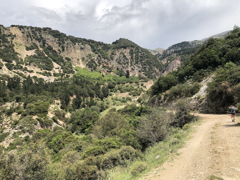
The track crosses a stream and bends round sharply to the left, climbing steadily upwards by a series of hairpins, with short cuts every so often through the undergrowth.
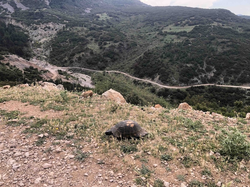
After about 2.5 km you come to a building on the left-hand side. Immediately after passing it you branch off on a much narrower trail to the left through the trees.
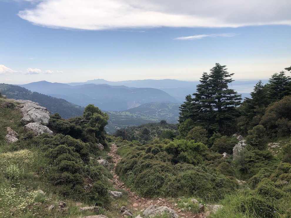
You climb steeply at first, up a muddy slope, then more steadily through beautiful meadowland, up to the Psarthi hut.

The views are breathtaking from here, down to Patras and the sea (and no wind turbines in sight!)
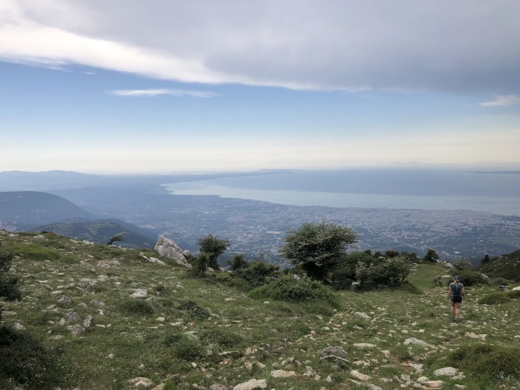
That’s as far as we got: it was late in the day and there was thunder in the distance, and lots of goats and dogs on the path not far ahead.
Once you get to the hut you’re about halfway to the summit. The full route is included below (I will update if and when I get the chance to do it!)

The round trip to the Psarthi hut and back is about 10 km, with 700 metres of ascent.
To the summit and back is about 17 km, with 1350 metres of ascent.
The start point for the route is here. The downloadable GPX file is below.